
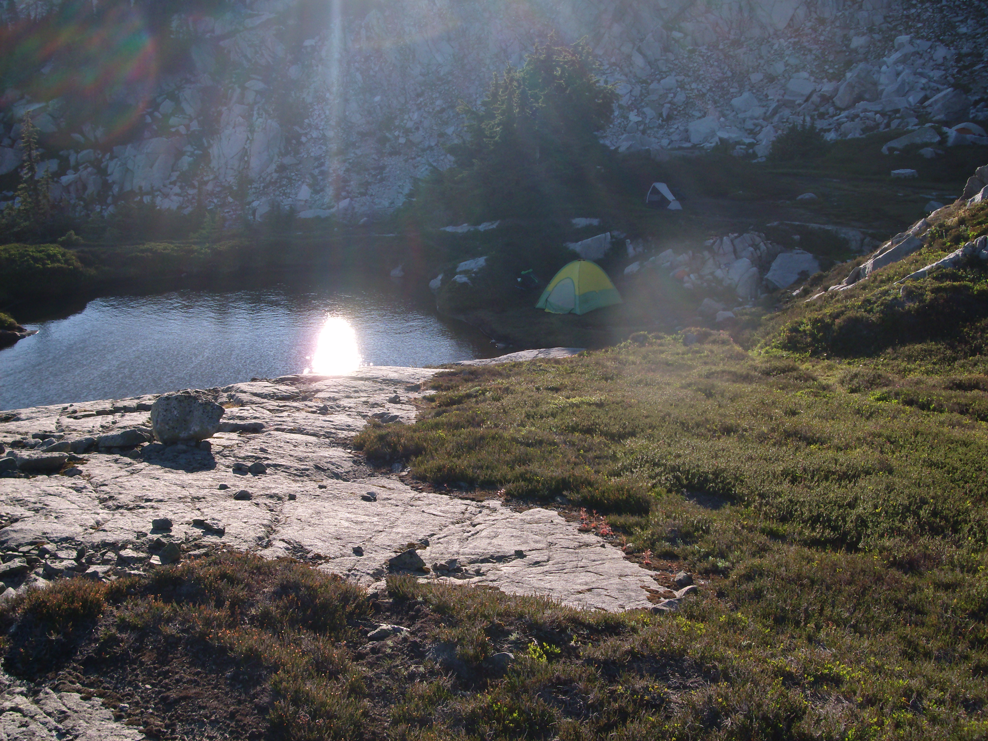
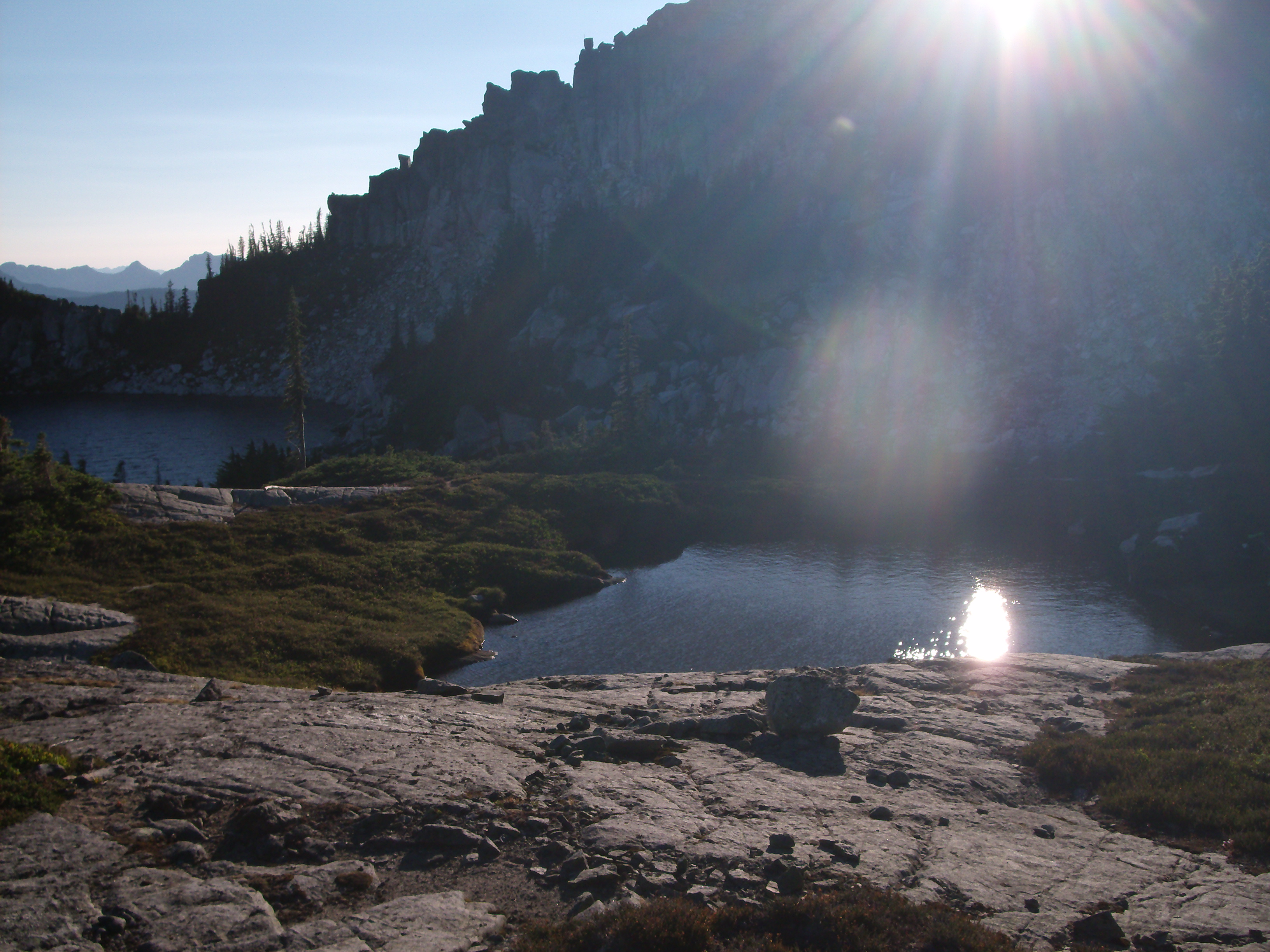
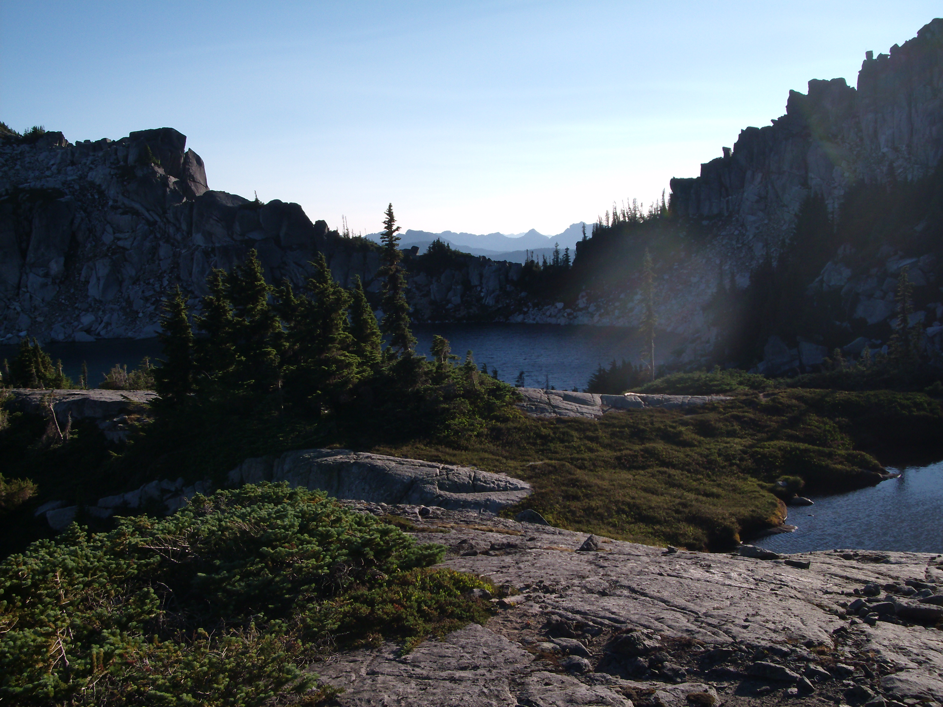
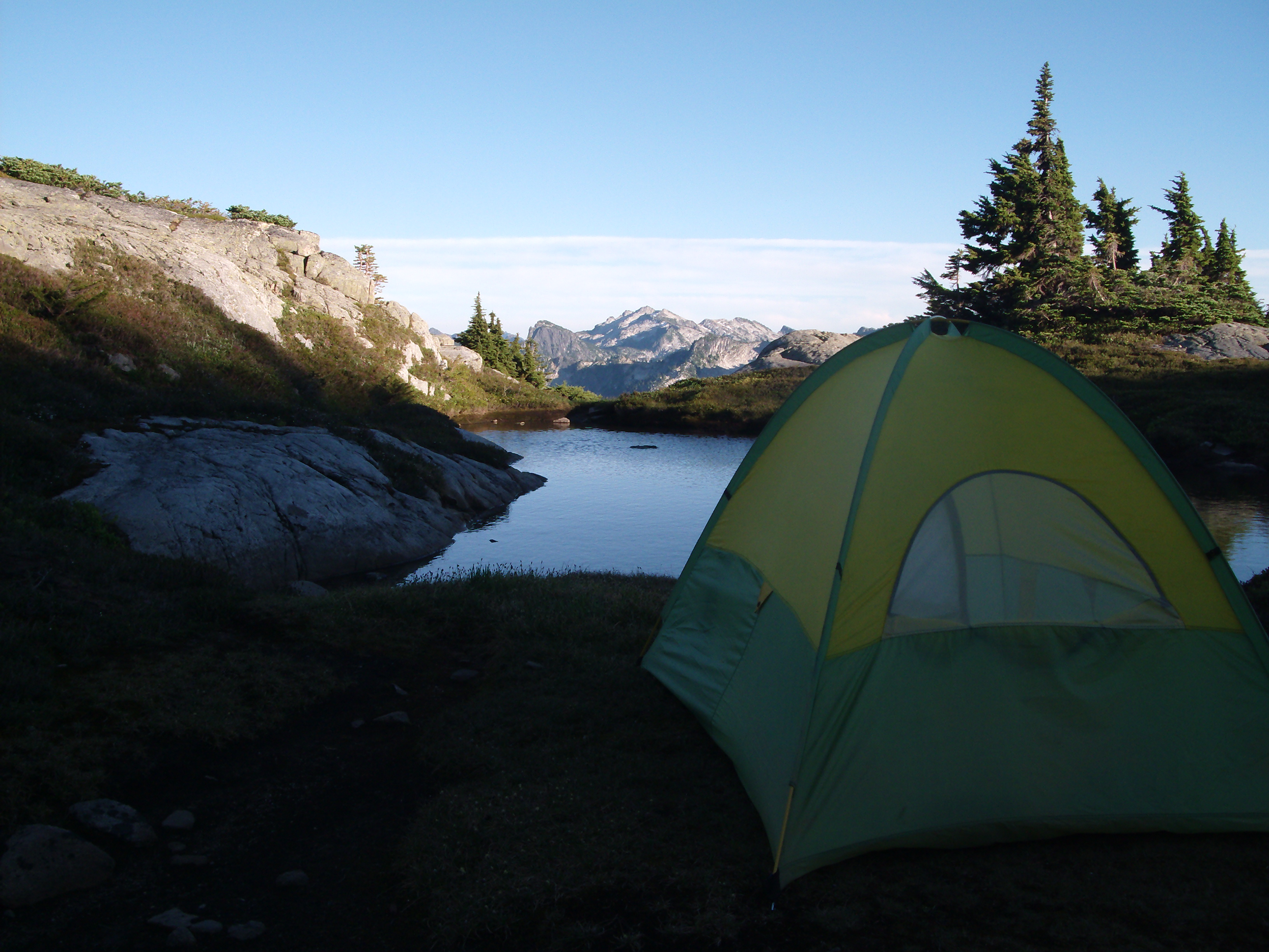
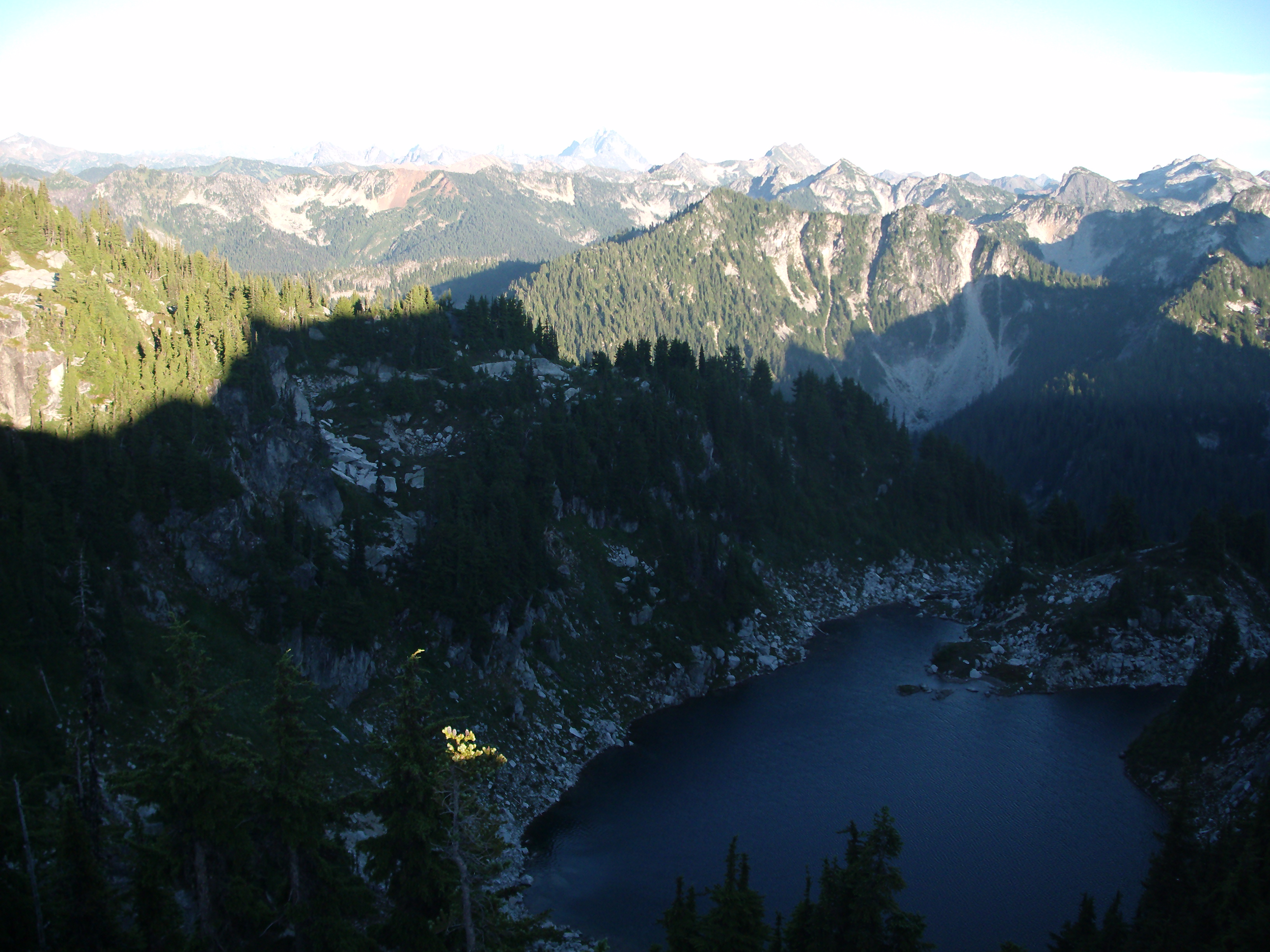
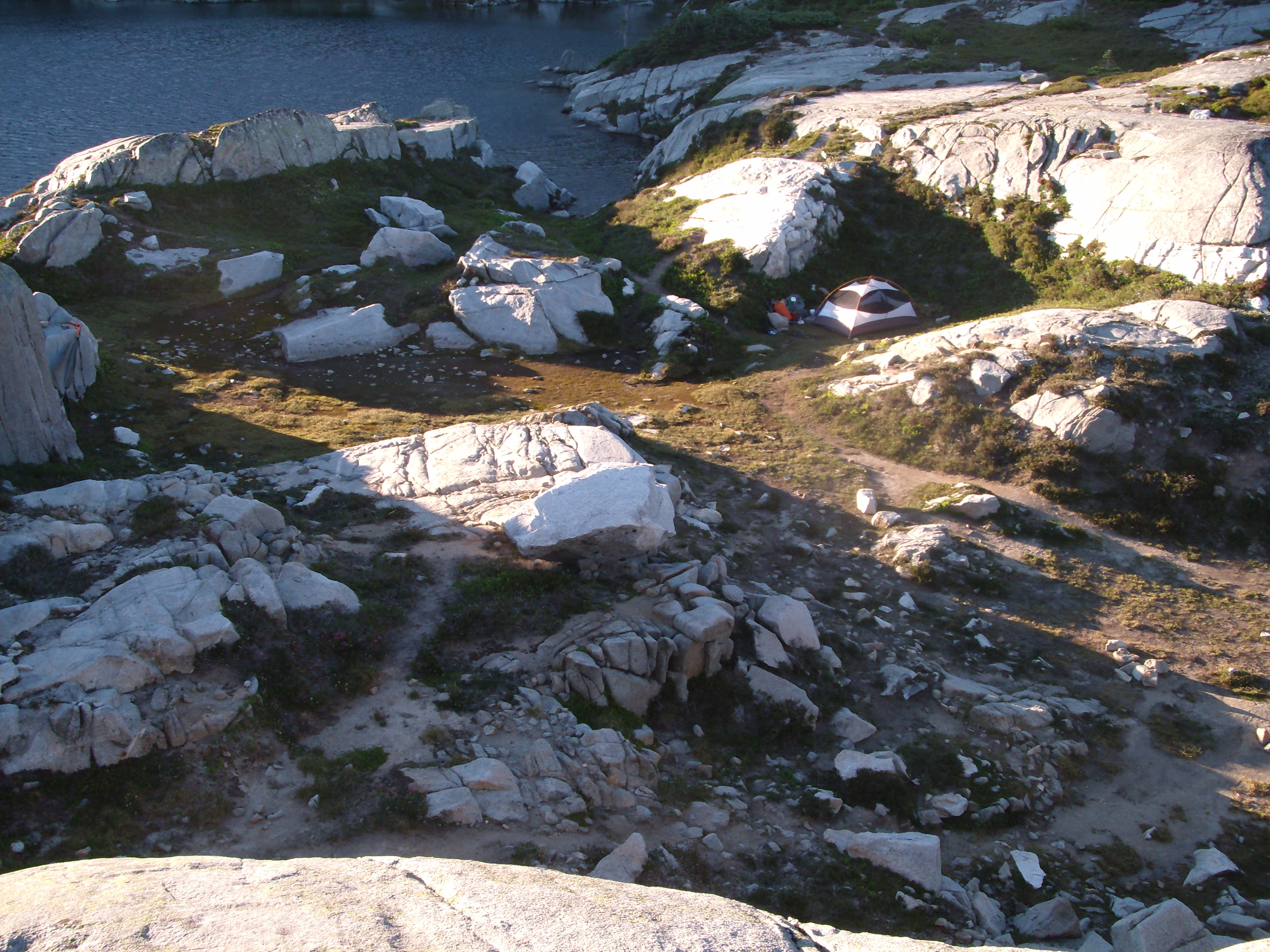
Trip: A two-night backpack to Thunder Mountain Lakes in The Alpine Lakes Wilderness.
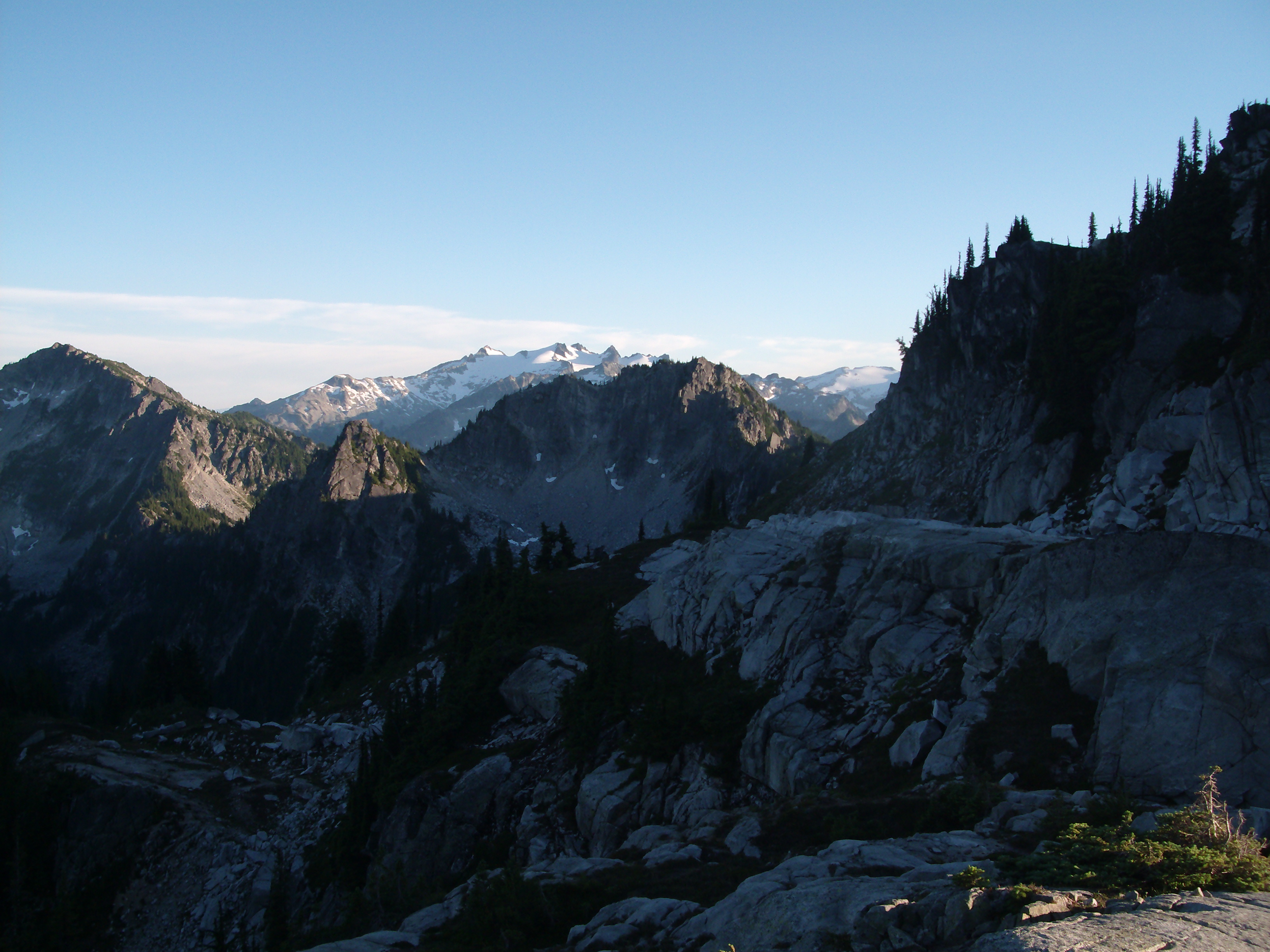
Location: North Cascades, Washington State, southwest of Stevens Pass.
Drive: US Highway 2 eastbound 13.2 miles past Skykomish. Turn onto Tunnel Creek Road #6095 and continue 1.5 miles to trail head.
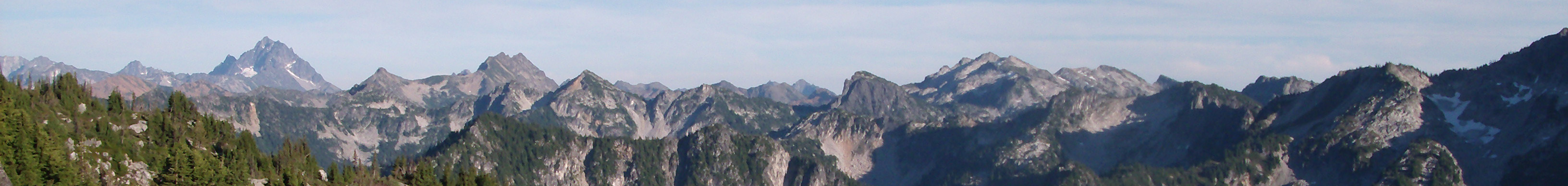
Hike: Tunnel Creek Trail #1061 to the Pacific Crest Trail. Pacific Crest Trail to Trap Pass. At Trap Pass leave the PCT and follow a way trail along the top of the crest to Thunder Mountain Lakes.
Notes: The weather was extremely hot and dry for early July in the Pacific Northwest.
Perhaps due to the hot weather the bugs were not very bad.
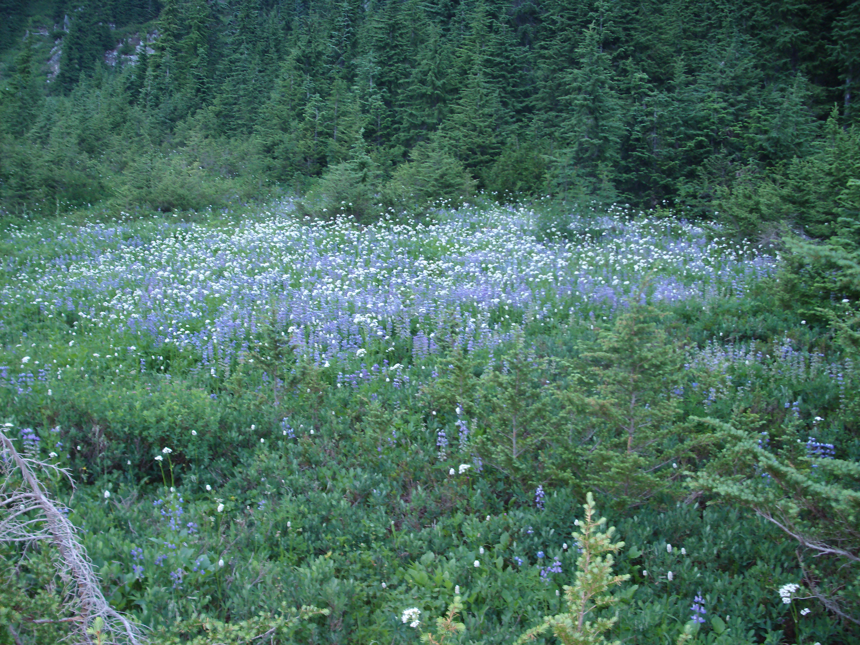
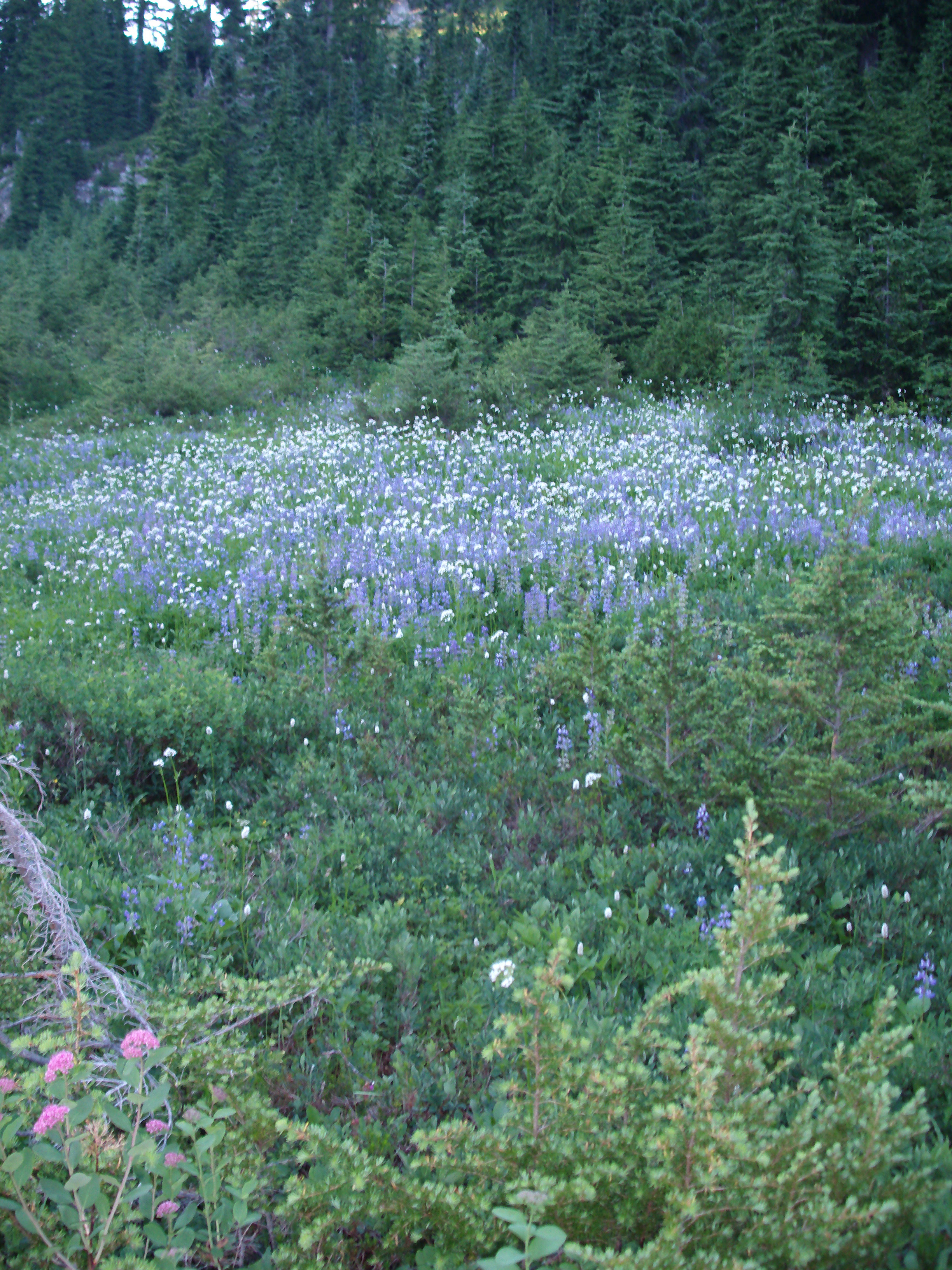
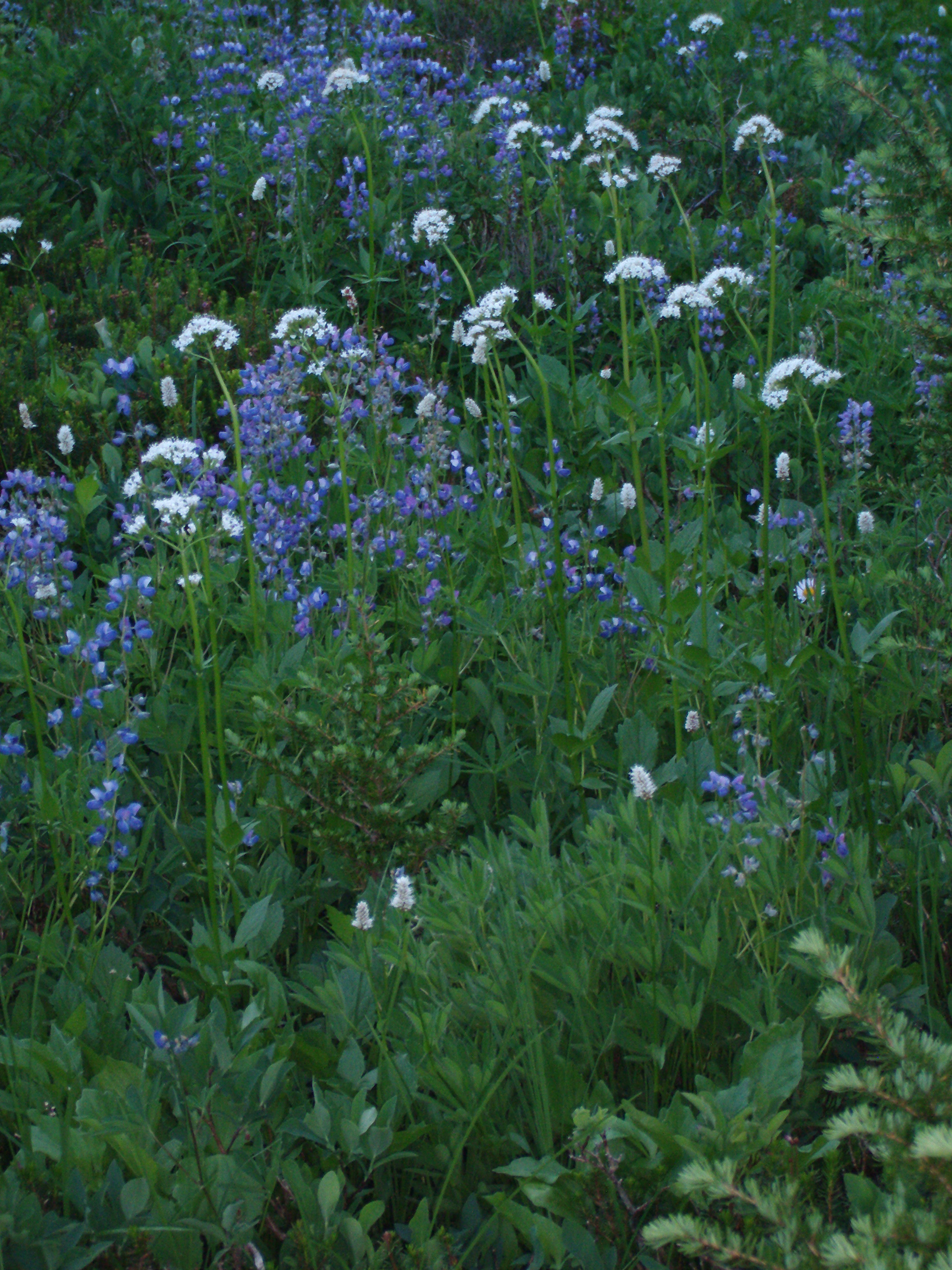
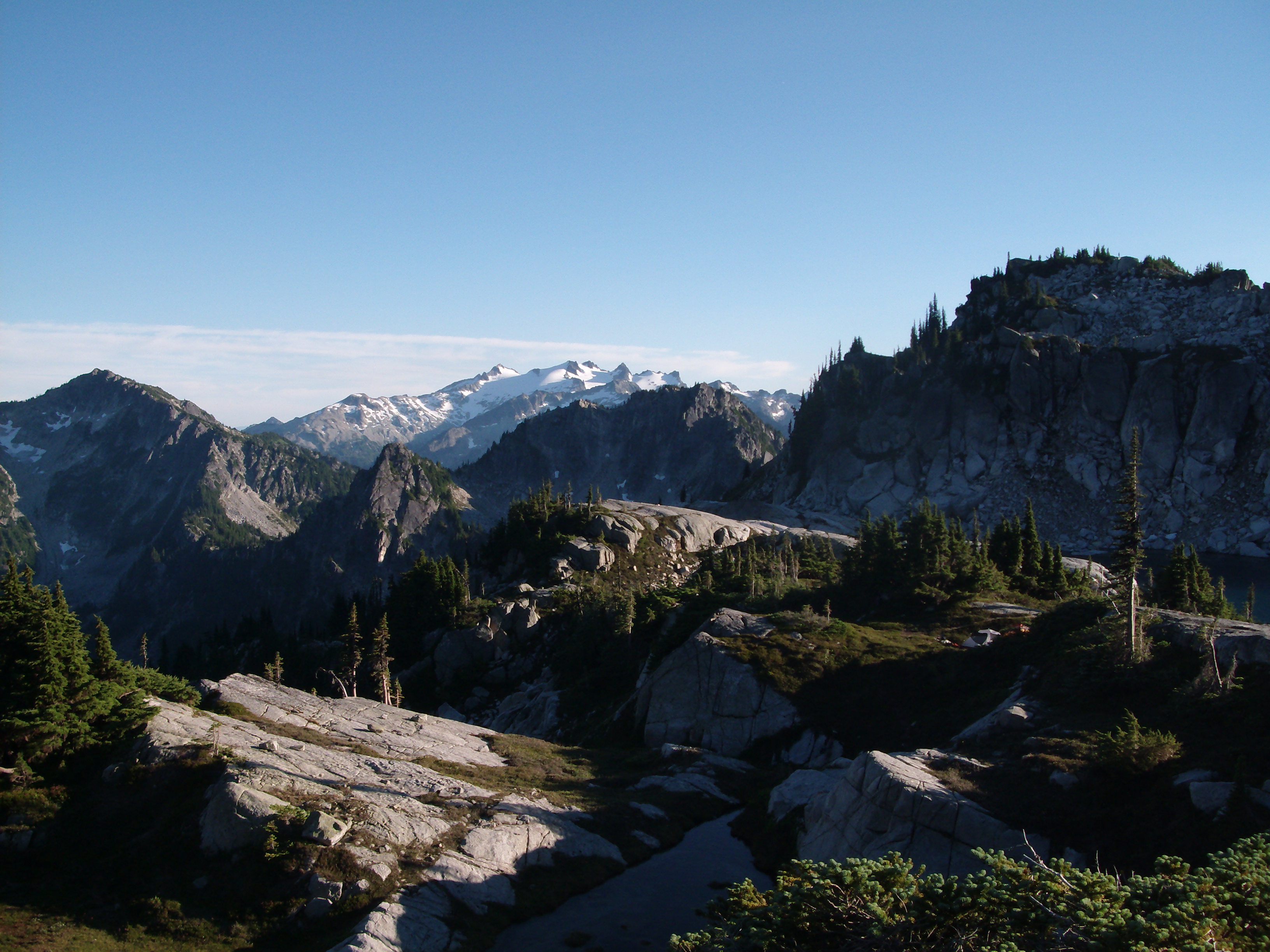
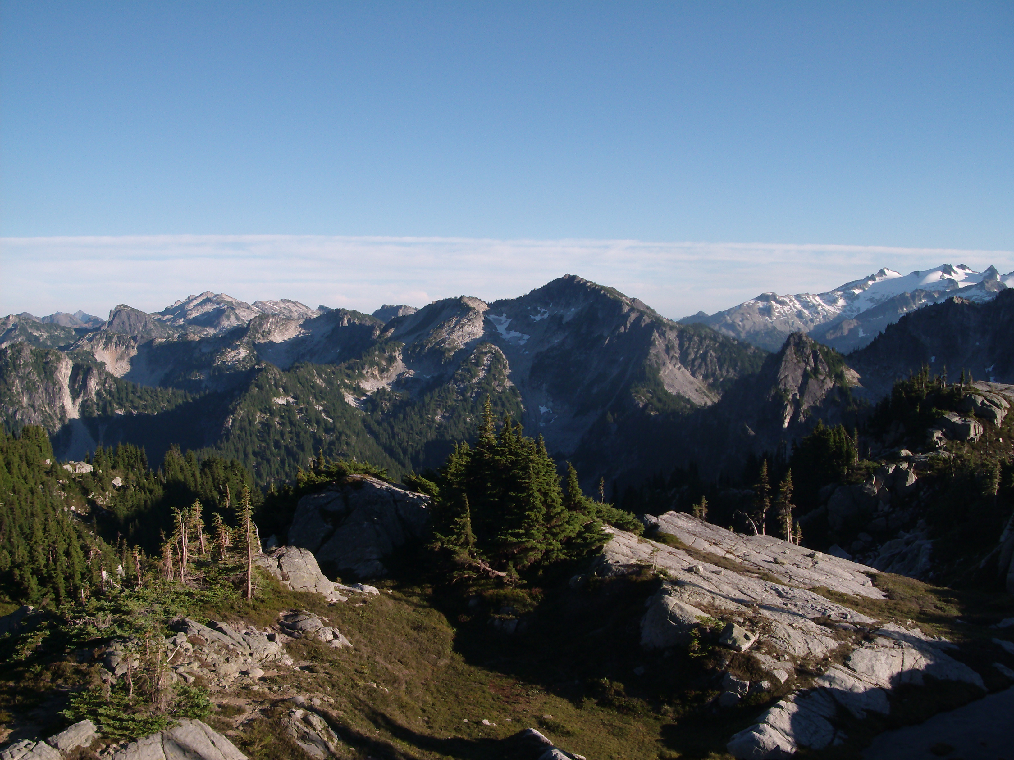
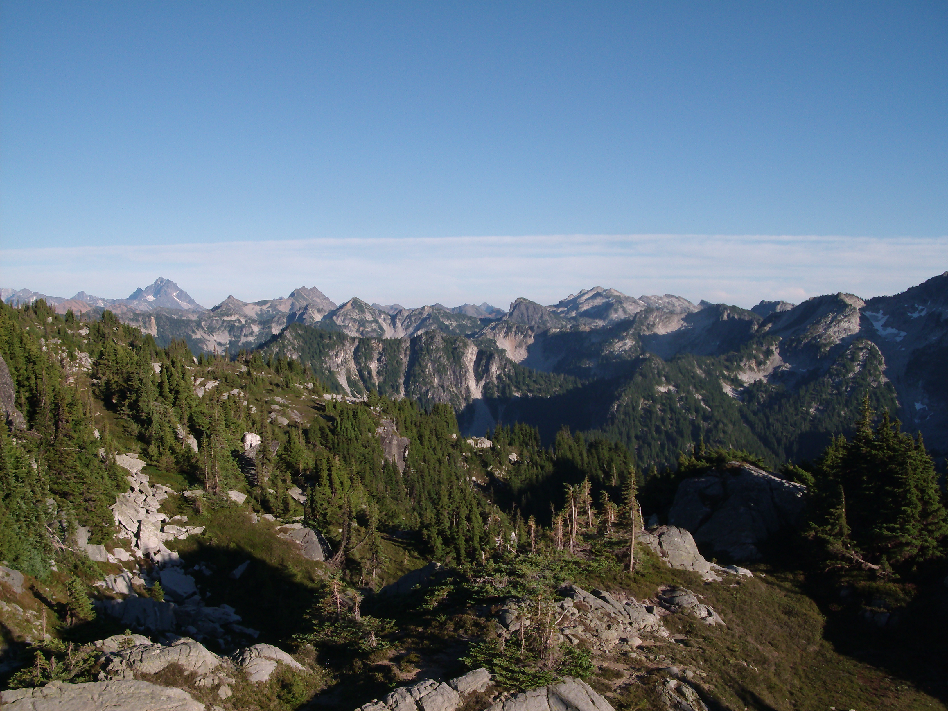
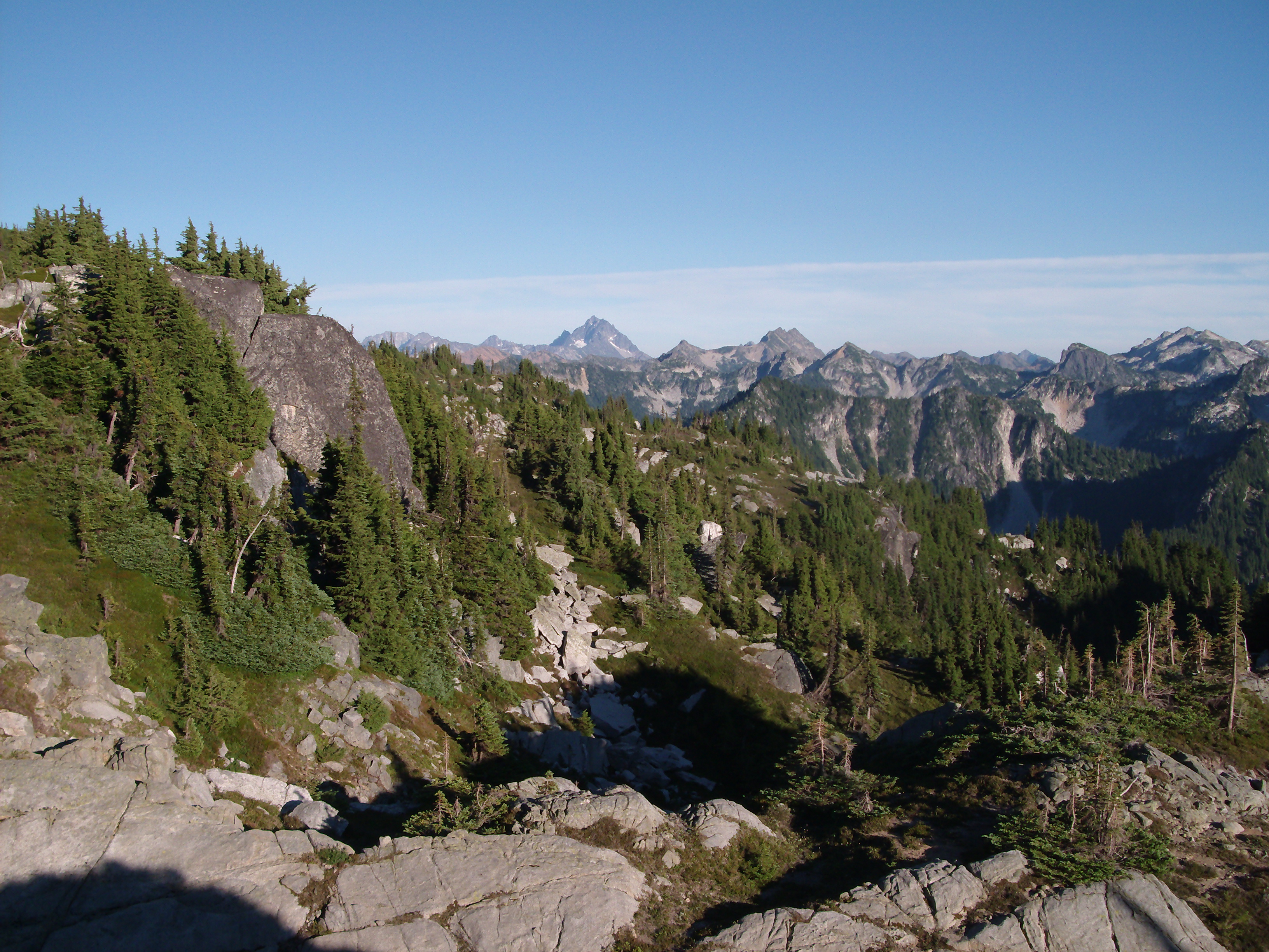
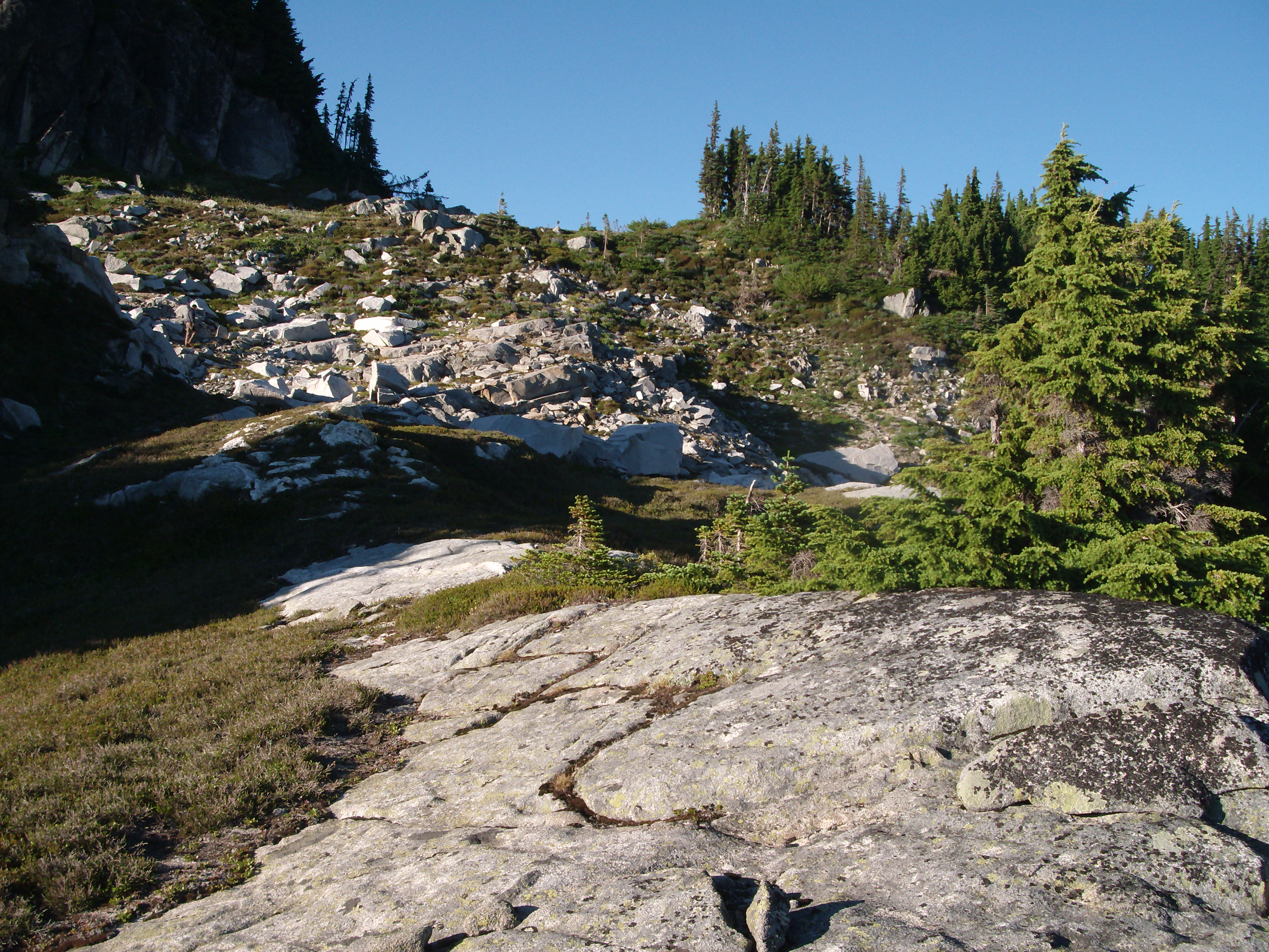
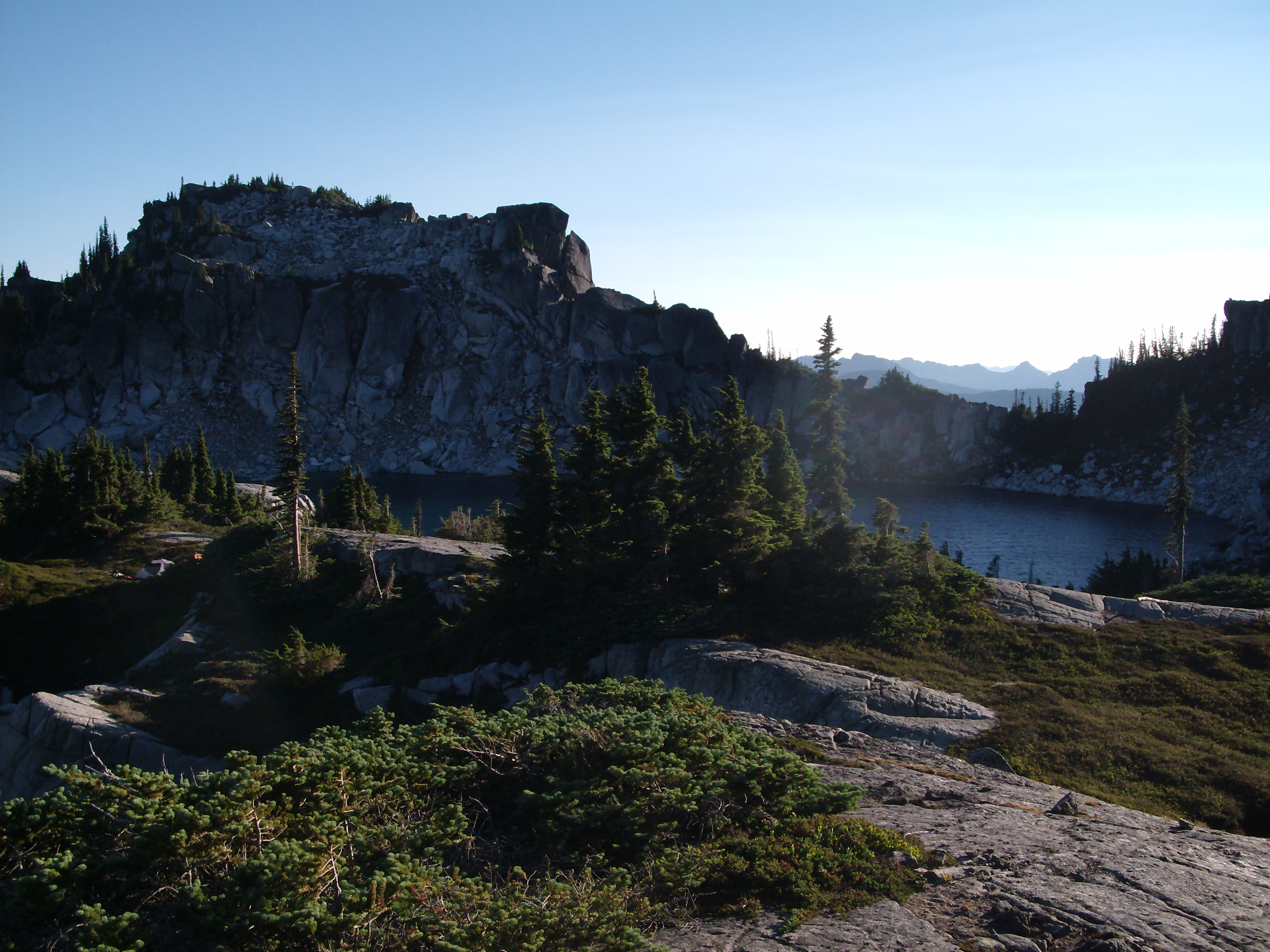
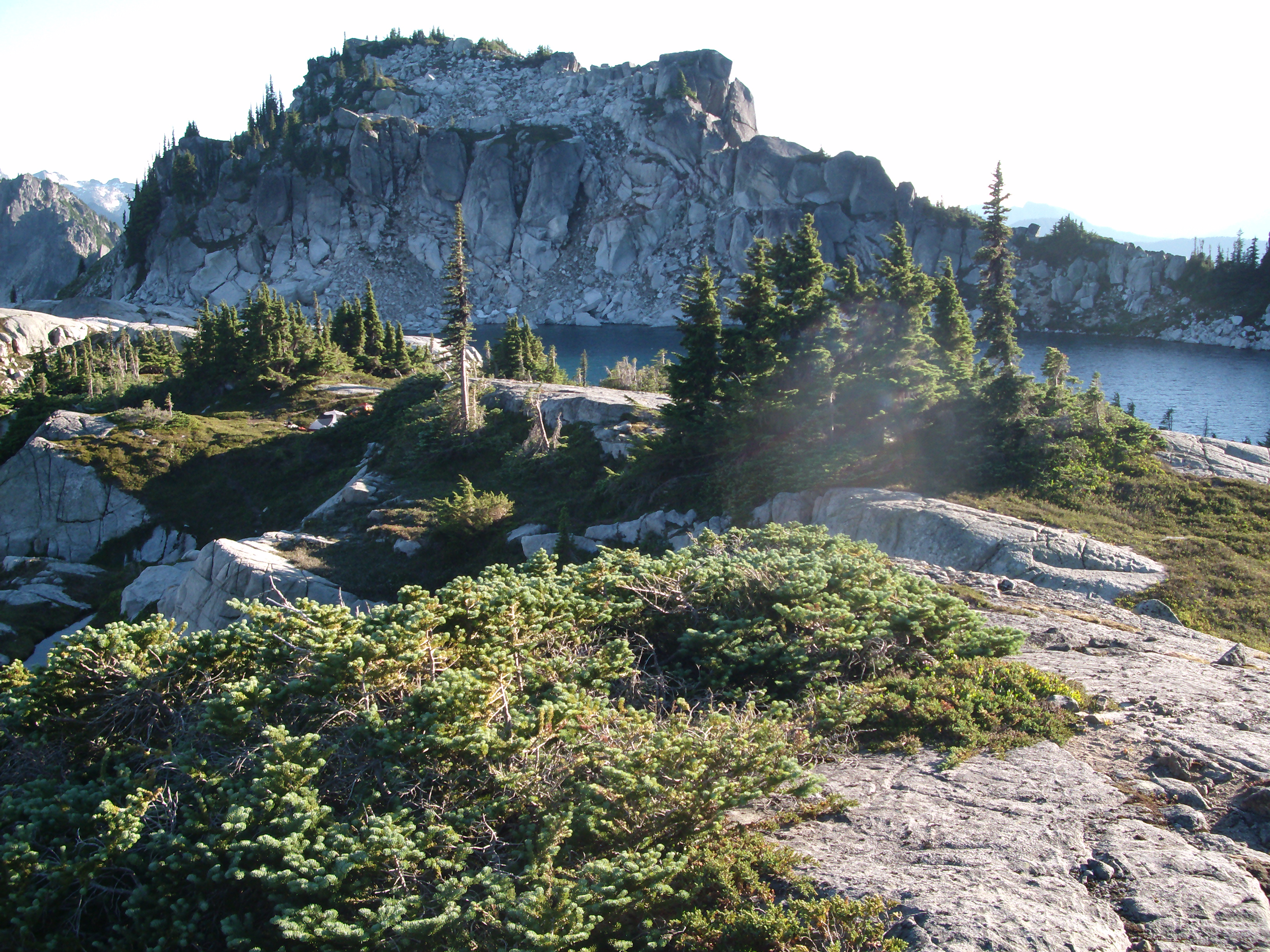
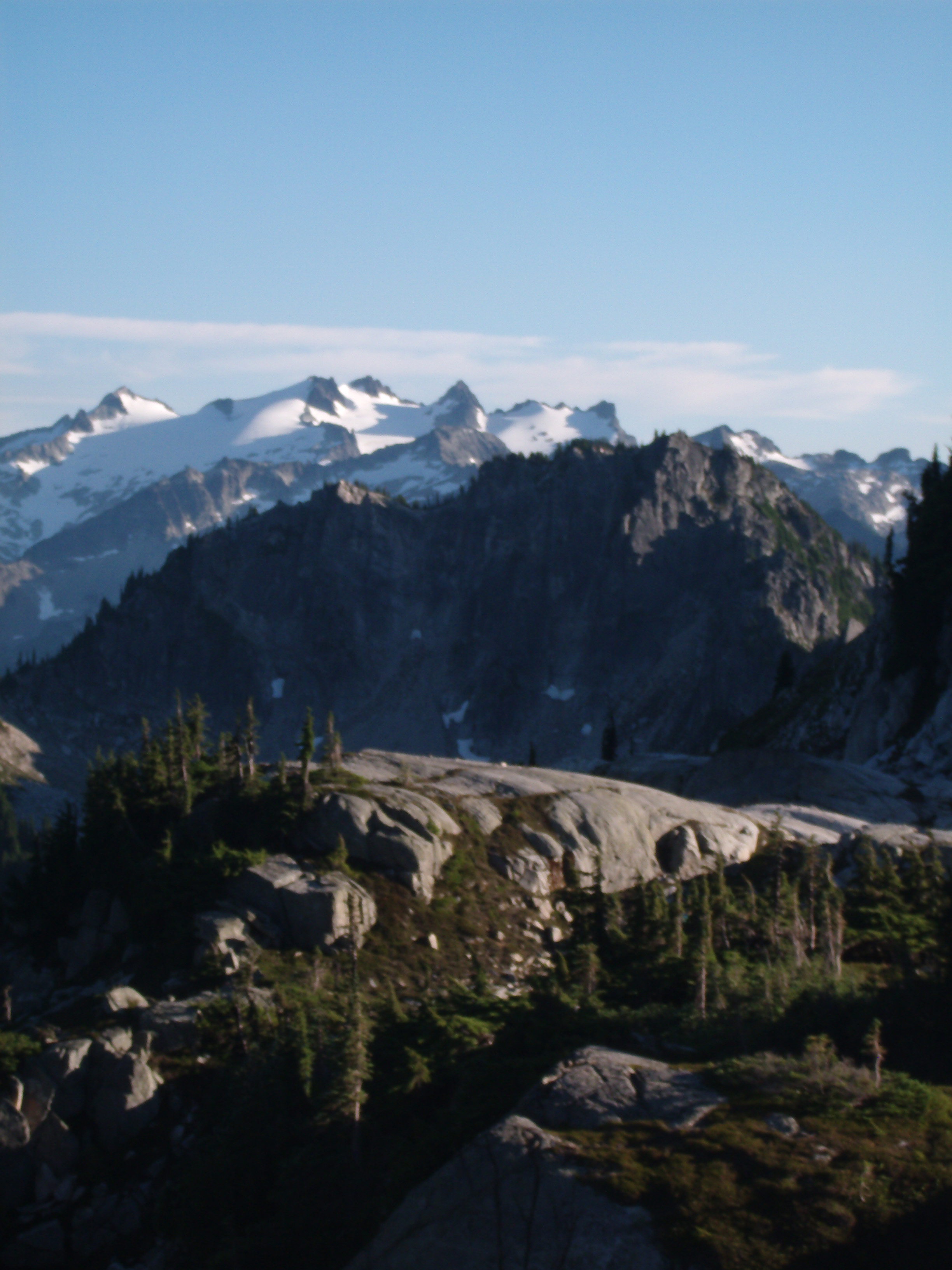
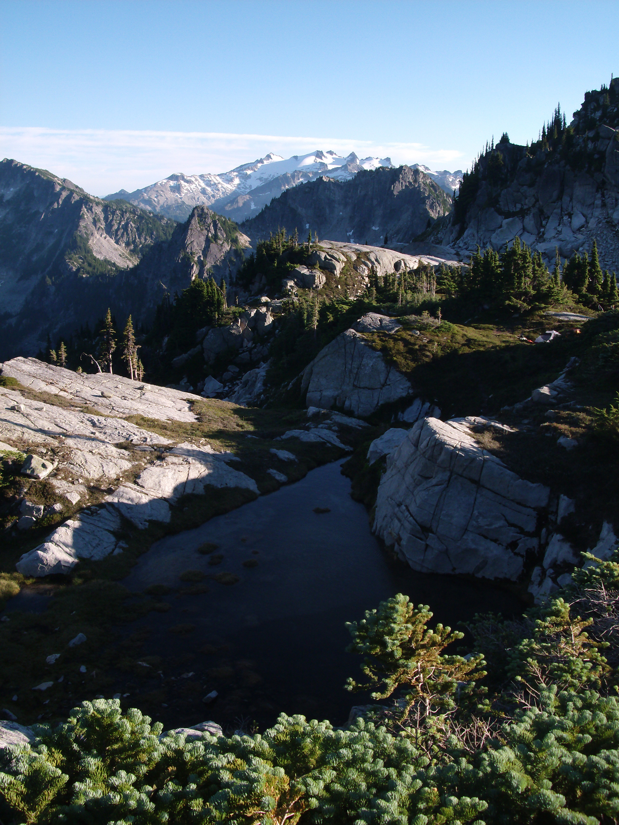
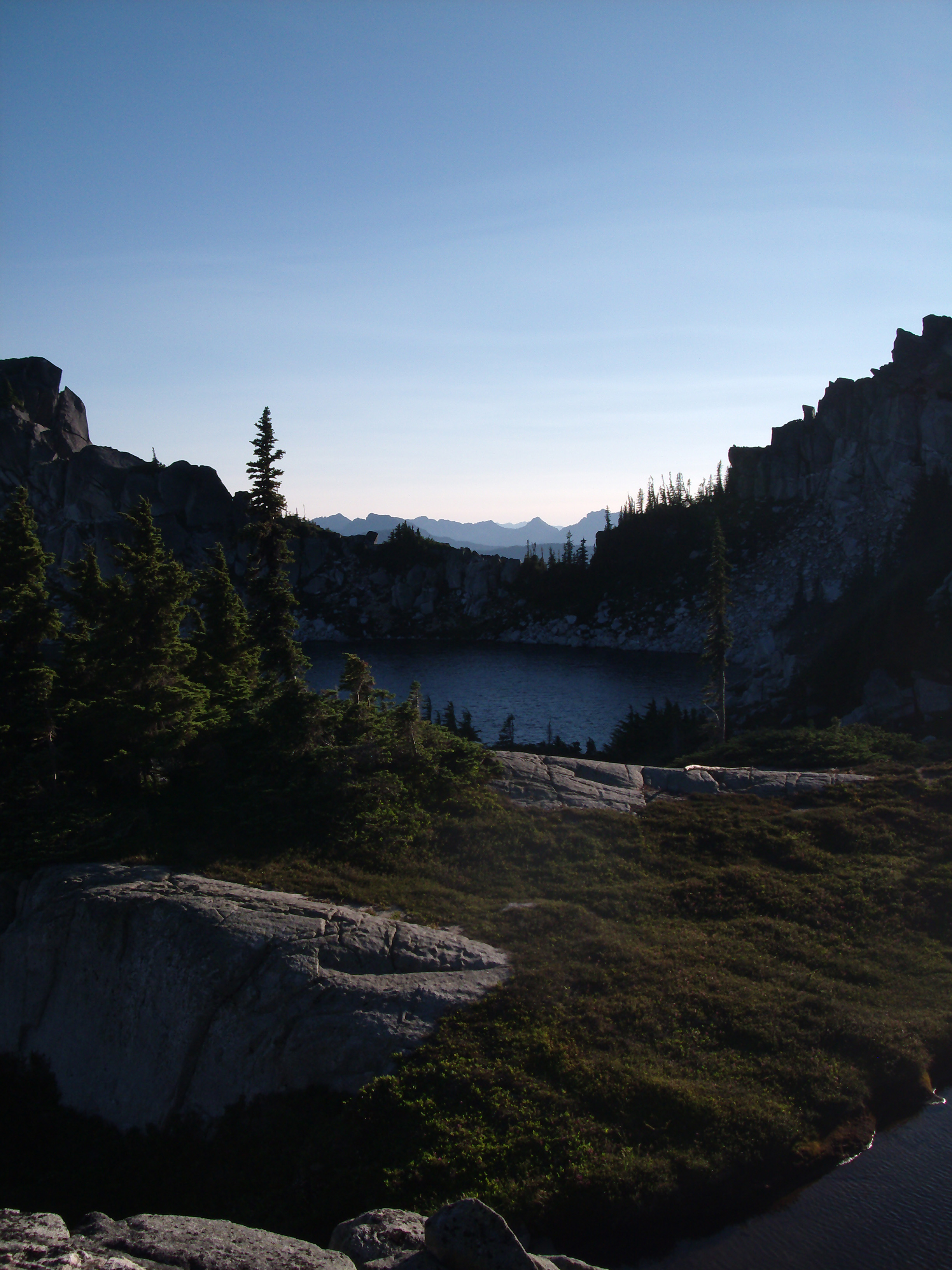
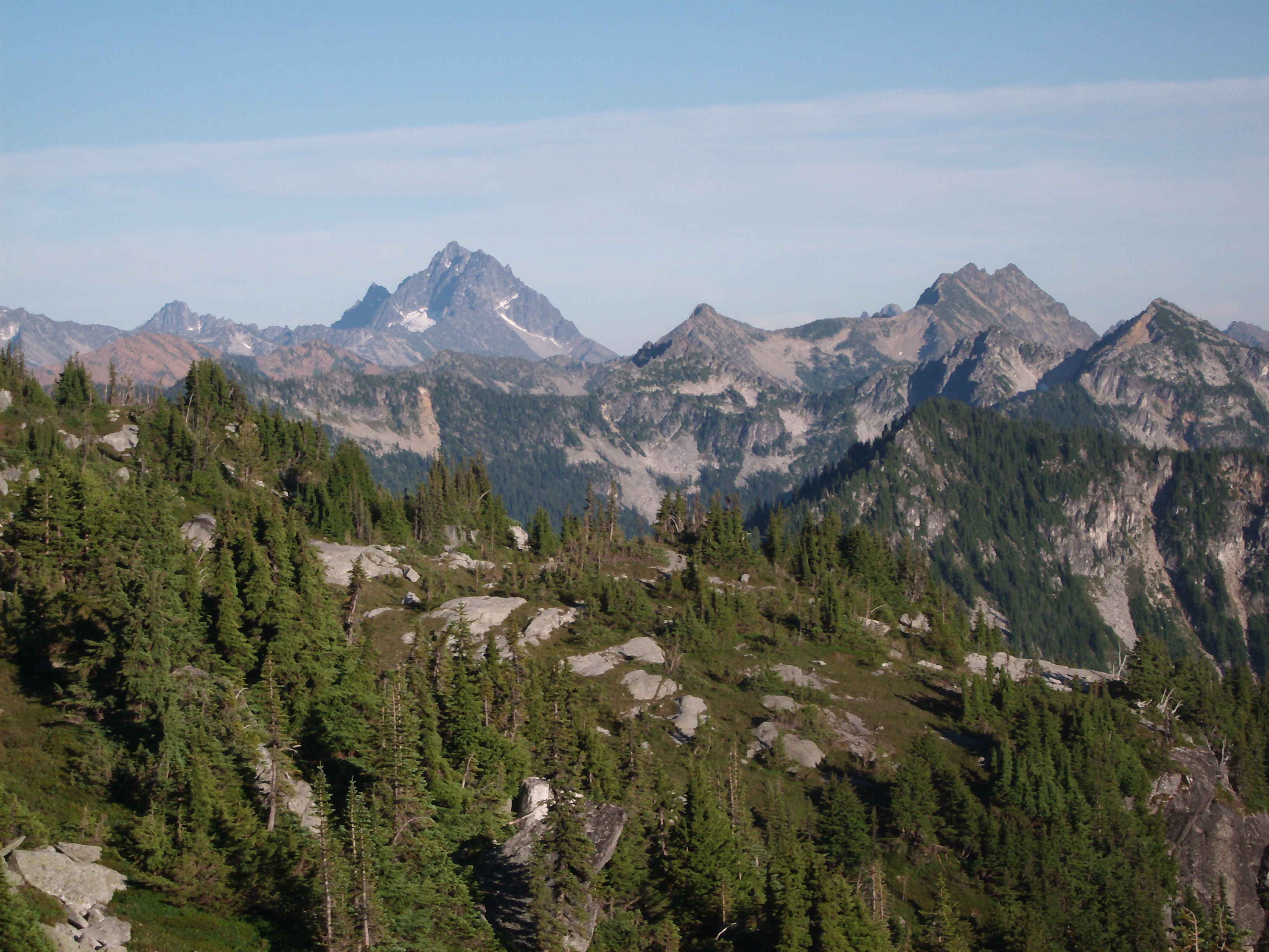
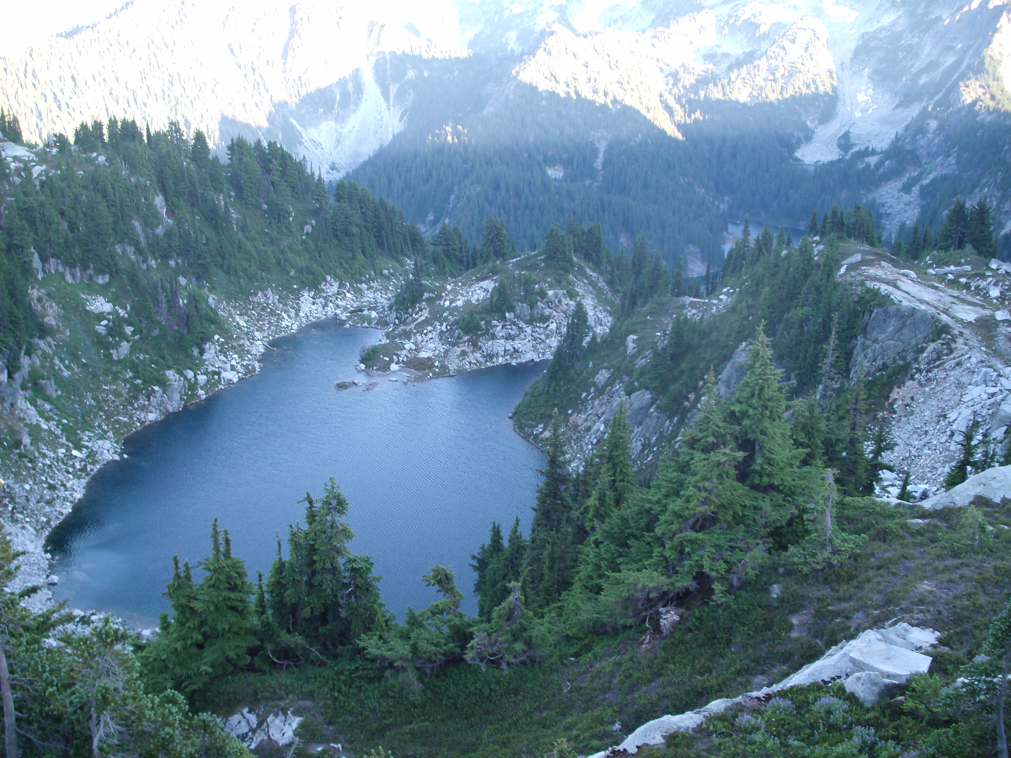
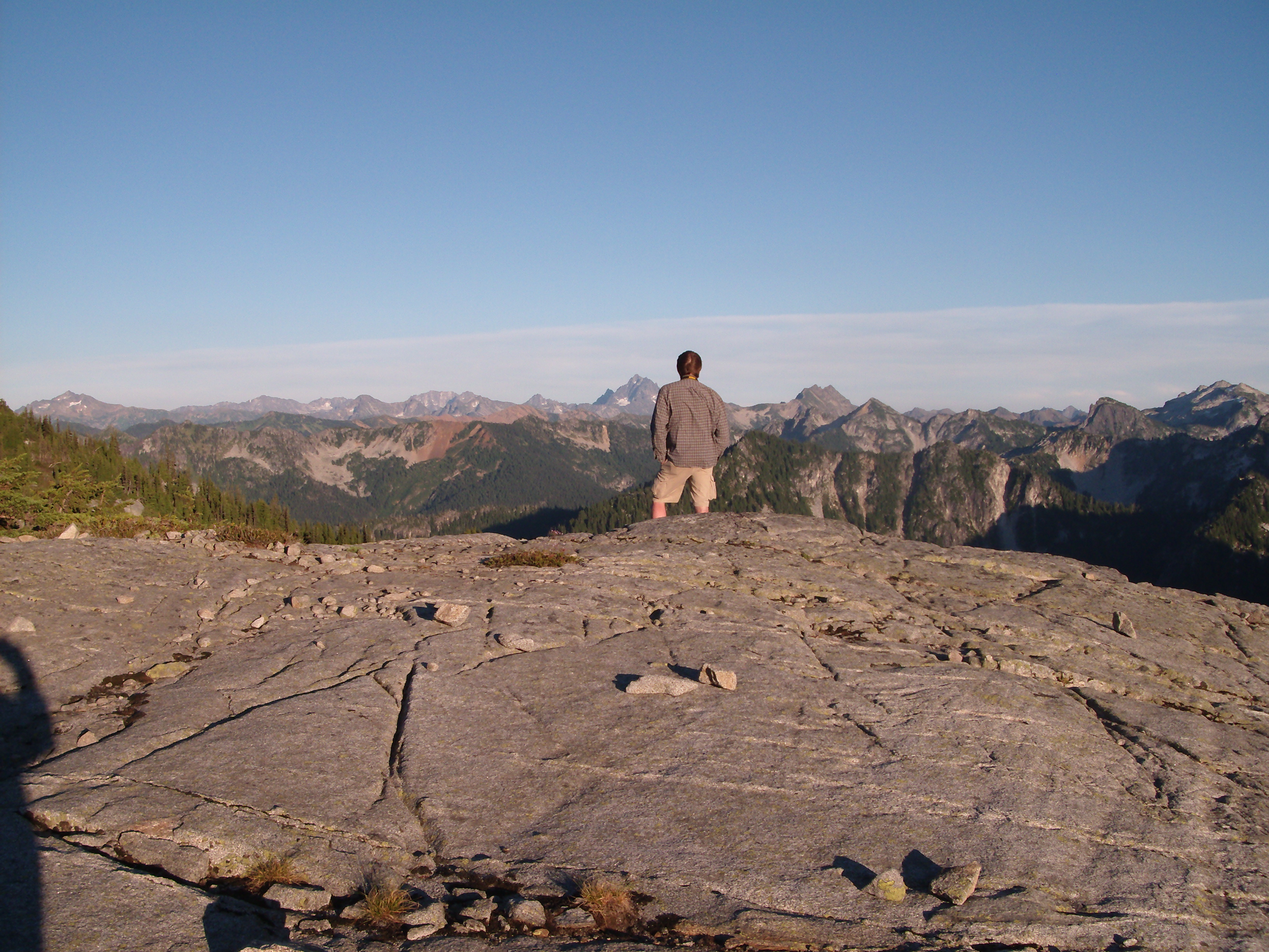
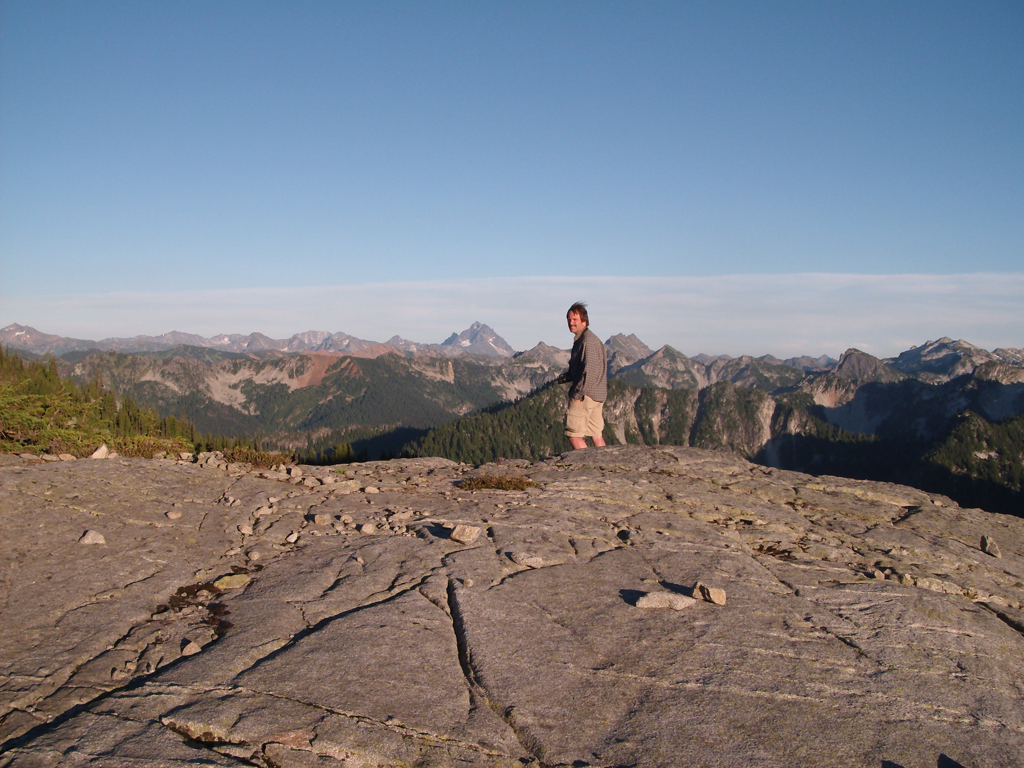
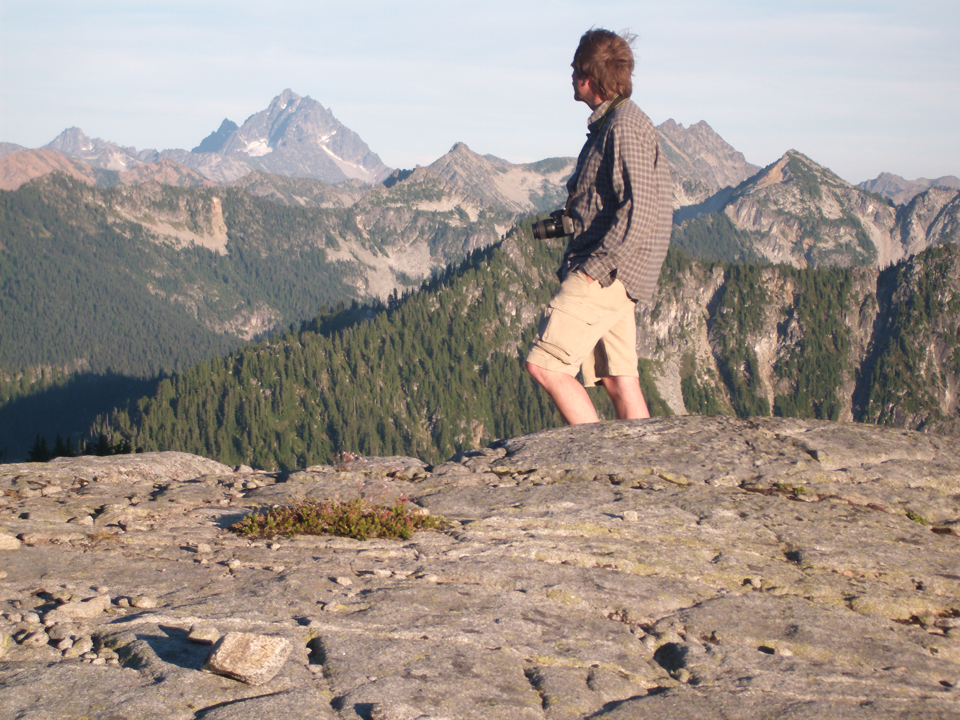
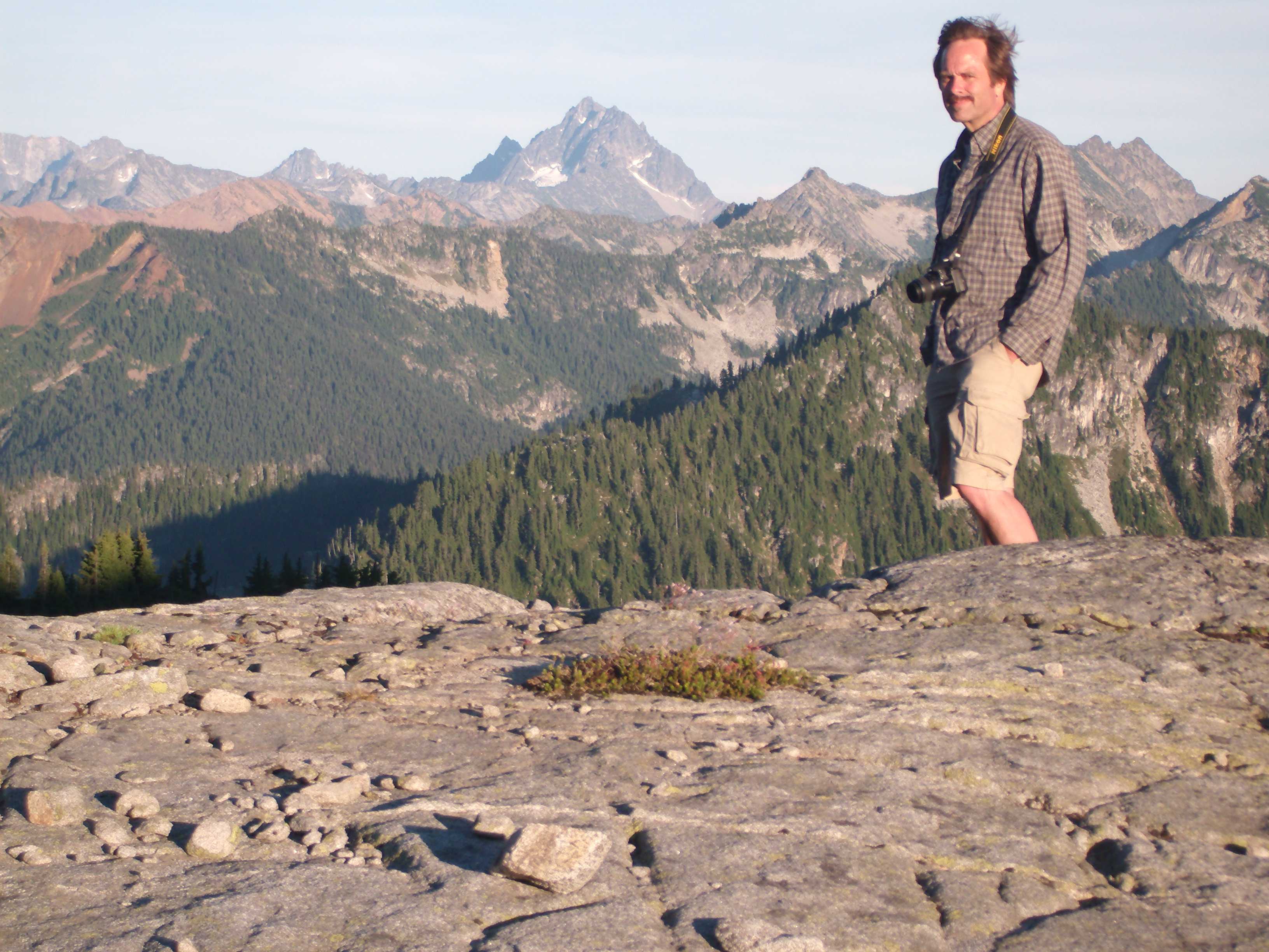
The way trail portion of the route was easy to follow except where it got into a large, granite boulder field. In the boulder field it was often tricky to spot the rock cairns marking the route. Also, the sparkling, white granite combined with the brilliant sunshine to make the last mile or so of the hike especially taxing.

next
It was Friday, the day before the 4th of July. Paul had a long drive to pick me up at my place. And then we had a long drive to the trailhead. Still, we hit the trail at a decent hour, considering. I don't remember for sure, but it must have been around 2 or 3 o'clock.
The Tunnel Creek Trail is notoriously steep and, although only a mile and a half long, monotonous. It's main reason for being is as a shortcut to the PCT. I'd hiked it years before on a solo day hike, and then a short distance on the PCT toward Trap Pass, before turning around and heading back. I concluded then, wrongly, that there wasn't much to see in this area.
At the end of Tunnel Creek Trail you reach the PCT and Hope Lake. Whoever named it Hope Lake must have had their hopes dashed when they saw it. It's not much of a lake. It's shallow and muddy-bottomed, and the water is much too warm on a hot July day to be refreshing.
Hope Lake would have been too soon for us to camp anyway, so we continued on the PCT toward Trap Pass. While hiking up Tunnel Creek you keep telling yourself that the PCT will be easier, but the stretch from Hope Lake starts off with more climbing.
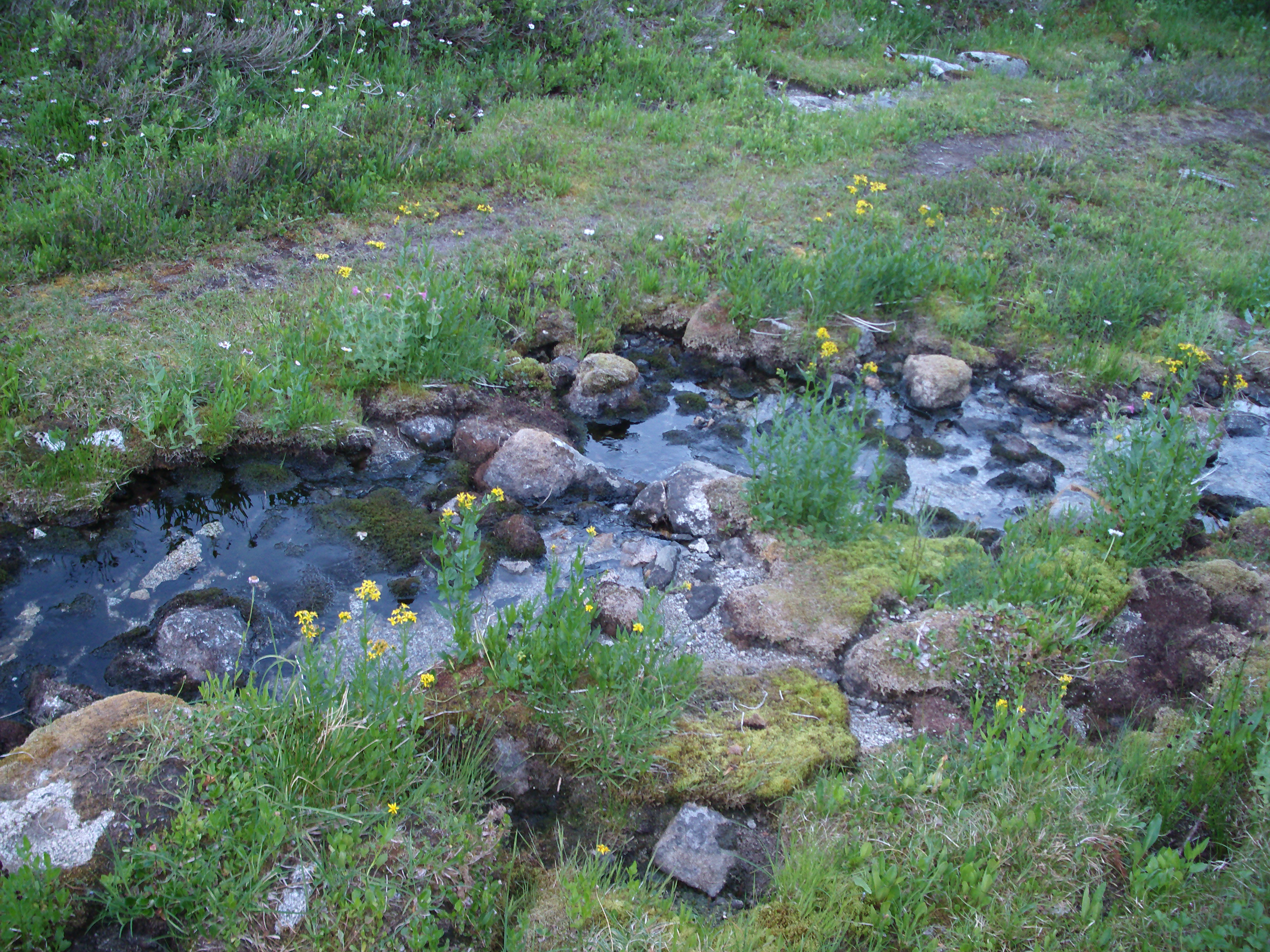
Just before ascending a small saddle there was a rock-slide cirque with a small stream flowing from it. Somewhat worried how far it might be to the next water source, I was ready to tap out there for the first night, but Paul wanted to keep going.
Reluctantly, I agreed, on the condition that we'd make camp at the next water source. We crested the saddle and came to a small muddy stream on the other side, but it wasn't very nice, so we kept going.
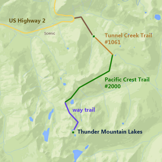
Luckily, about half-way through the PCT portion of the trail, we came to a beautiful little remnant of a creek flowing from beneath a slide of granite boulders.


prev
next
prev
next
I didn't take any photos on the third day. Neither of us did much of anything at the lake except eat some breakfast, break camp and dread the hike out. You typically plan to hike all the way out on the last day to maximize time spent at your destination and because it's usually mostly downhill. It's great to hike downhill instead of up, but it feels like small consolation when you take one day to hike out from where it you took two days to hike into.
Battling dehydration and the unrelenting sun, we managed to put one foot in front of the other all the way back to the car. There were a few small trail mishaps, but none so remarkable that the the need to mention them would outweigh the embarrassment of doing so. Suffice it to say I'll be replacing my pack, and I'm happy about that.
We drove the 13.2 miles to Skykomish and turned off the highway for some cold drinks. The town appeared to consist of exactly two bars. We went into the first one we came to and ordered a pitcher of ice water. Then some food. By coincidence, the Women's World Cup soccer game between the US and Japan was just starting. We watched until it was 4-0 and then drove the rest of the way back.
It took nearly a week for me to feel recovered from this trip, but just like all the others, the memory is better than the reality, and even the pain feels good in retrospect.
prev